Preconstruction site mapping
Fire Station 48
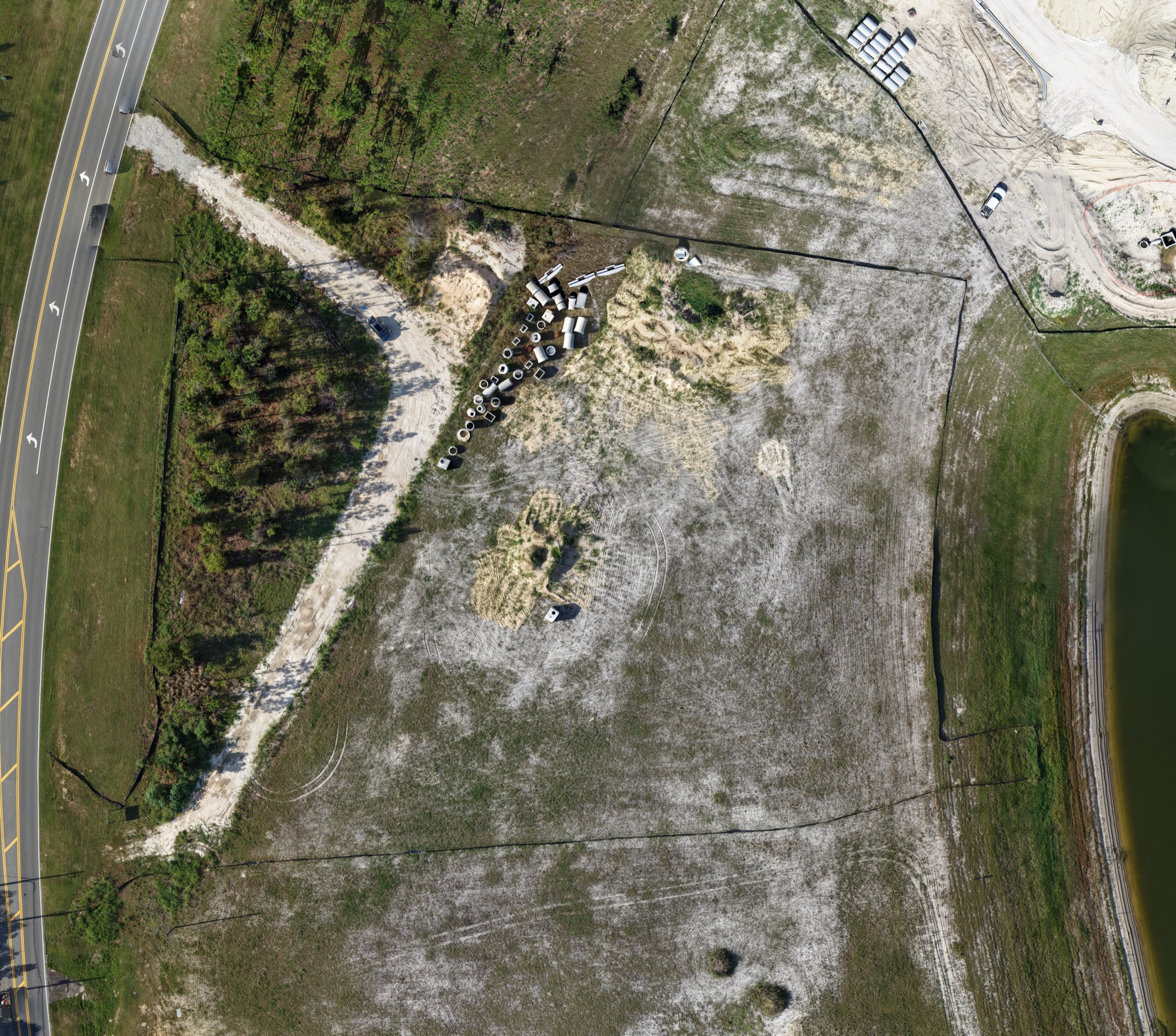
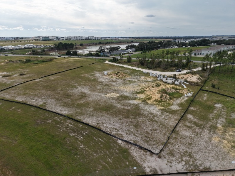
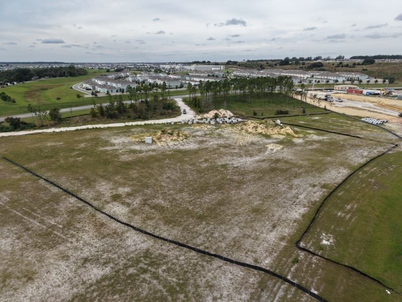
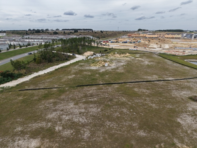
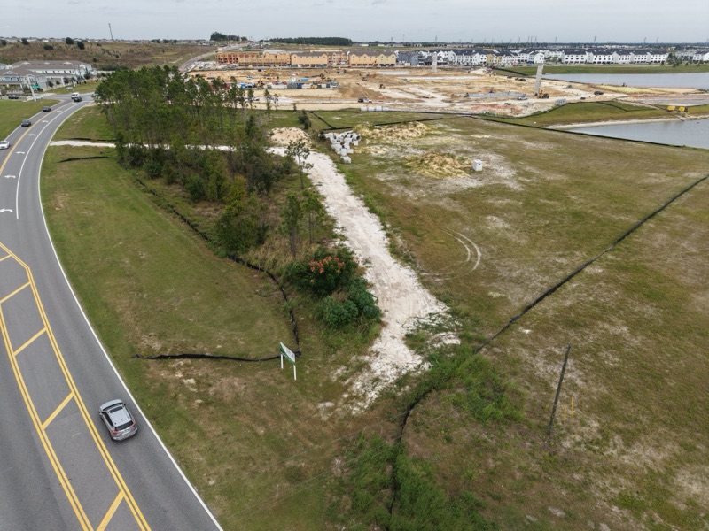
A preconstruction orthomosaic map and aerial photos recording the land for a new fire station before work begins.
- Location
- Winter Garden, Florida
- Project
- Municipal fire station, new build
- Size
- 11,866 SF
- Service
- Orthomosaic site mapping
- Flown
- November 2026
- Visits
- 1, at a milestone
- Status
- In progress
- Delivered
- Orthomosaic map and aerial photos
- Used for
- A record of the current state of the land
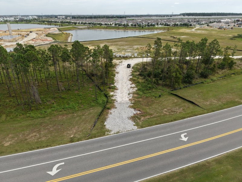
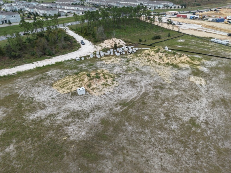
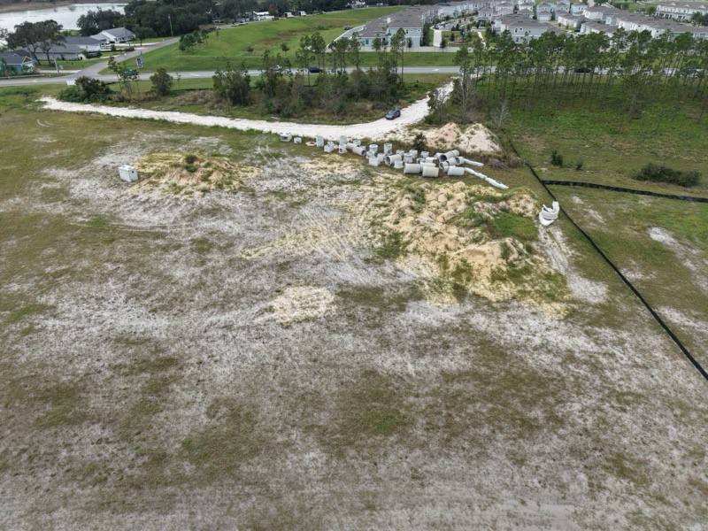
Before construction starts, the whole parcel was mapped from the air. Straight-down photos were stitched into one orthomosaic map that shows the land as it stood on the day: the access road, stockpiled pipe, silt fence and the pond next door. Angled photos from the same visit show how the site sits against the road and the neighborhood.
From the flight
7 photos · select one to enlarge
Want this for your project?
Request a quote